Catalina State Park - Pima Canyon Trailhead
See the video on crested cactus. in the link below.
Link to Crested Saguaro
A description of the hikes in Pima Canyon Link to Hike Arizona
The Long Hike
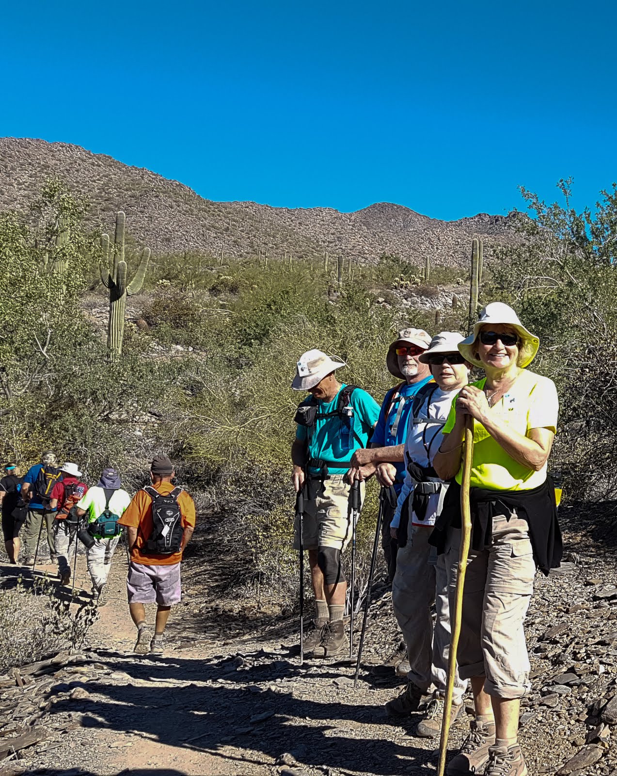
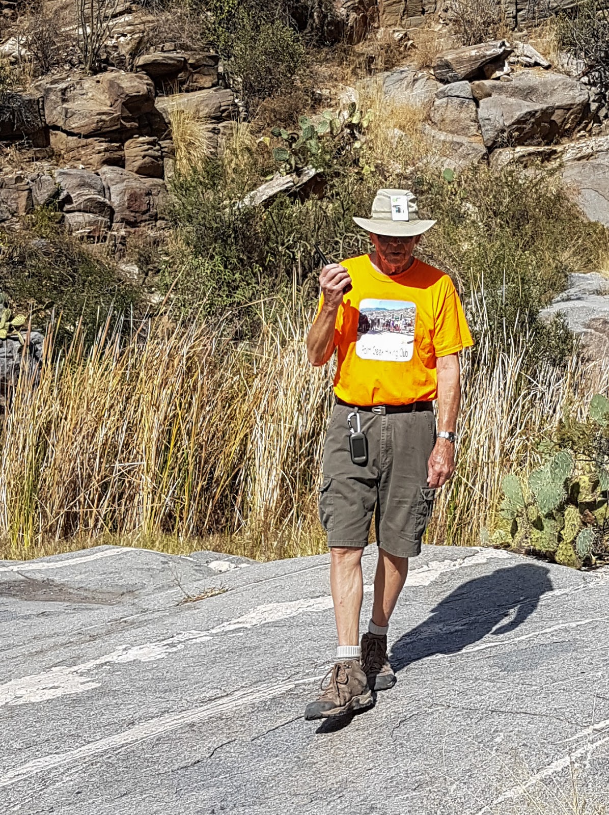
Pima Canyon Trail is a popular hike on the east side of the Catalina Mountains. At a little gate at the start of the hike, there is a sign that indicates there are no horses, dogs or bicycles allowed in the nature preserve. We were hiking on the Friday after Thanksgiving so there were families taking advantage of the long weekend to hike. Near the beginning of the hike the trail winds up and down and around big boulders and across a wash. The trail is fairly narrow and rocky with small stones on the trail.
Pima Canyon Trail is a popular hike on the east side of the Catalina Mountains. At a little gate at the start of the hike, there is a sign that indicates there are no horses, dogs or bicycles allowed in the nature preserve. We were hiking on the Friday after Thanksgiving so there were families taking advantage of the long weekend to hike. Near the beginning of the hike the trail winds up and down and around big boulders and across a wash. The trail is fairly narrow and rocky with small stones on the trail.
After walking about ½ hour we started to hike in a shaded area with grass and lush vegetation. Barrel cactus, prickly pear cactus, saguaro cactus, chain fruit cholla, ocotillo and agave; as well as mesquite, willow, cottonwood, ironwood and oak trees grow along the trail. Brittlebush and various varieties of beautiful grasses are also common. A few of us had a taste of the Jojoba nut as we passed by.
As we hiked out of the wash we came across a large rock formation and then we wound our way up the side of a bank. We then walked down and across another wash. As we walked up the other side of the bank there was bedrock with mortar holes ground in the surface. Hohokam people ground Mesquite pods and other food on these rocks.
From here we hiked up toward the dam that was built for the wildlife in the area. The watershed was dry and we were able to have our lunch on the rocks where there is water at other times of the year. The cliffs around the dam were home to many birds.
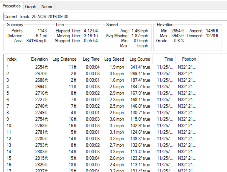
We hiked the same trail back and were able to enjoy the views and fauna from a different perspective. We hiked 6.1 miles. There is an elevation gain chart from the GPS chart on this blog.
The Shorter Hike
This group came across a cristate or crested cactus that has a rare condition of abnormal growth from fasciation. Fasciation causes a flattened, ribbon-like, crested growth pattern. The cause of fasciation may be hormonal, genetic, bacterial, fungal, viral or environmental. See the video on crested cactus. in the link below.
Link to Crested Saguaro
A description of the hikes in Pima Canyon Link to Hike Arizona


Pima Canyon Trailhead
Take I-10 East to Exit 246. Go left on W Cortaro Farms Rd. In 3.9 mi. Cortaro Farms Rd. becomes W. Magee Rd. Continue east an additional 3.9 mi. to the end of the road. Parking lot on the right. 61.3 mi.
32°21’12.10”N, 110°56’53.80”W