Short Hike - First Water Trailhead to Canyon Lake (Black Mesa Hike)
Long Hike - Canyon Lake to First Water Trailhead |
| Canyon Lake |
First Water to Canyon Lake (Black Mesa Trail)
Map of the First Water Trailhead to Canyon Lake Hike (see link) http://www.everytrail.com/view_trip.php?trip_id=532339
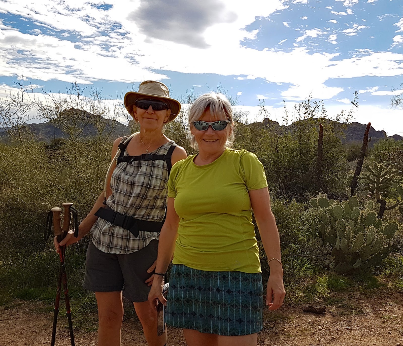
Hiking Notes from Peter's Hiking Blog
The trail starts from the east end of the parking lot and proceeds east on trail 236, the Second Water Trail. After about 10 minutes you come to a junction with the Dutchman’s Trail. Take the left fork and proceed up a ridge and into a valley, the trail going along and above a wash. This is a pretty valley with green hillsides and views of interesting rock formations.
The trail descends and crosses two washes in quick succession and then climbs up a wash to a valley. 10 minutes after crossing the second wash, the trail crosses a third wash and then climbs to a ridge, which is about 5 minutes further along. At this point the trail flattens out and gets wider. A short distance along this flat area and the trail comes to a junction with the Black Mesa trail (241), after a hike of 45 minutes from the trailhead. Go straight through this junction, staying on trail 236.
The trail continues along the flat valley for about 15 minutes and heads to a pass between two mounded hills, which are Hackberry Mesa on the left and Black Mesa on the right. The trail narrows as it approaches this point and the trail base is mostly black rocks about the size of footballs that have rolled down from the hills and is very difficult to walk on. After about 15 minutes from the start of the pass the trail descends steeply along the left side of a draw and heads toward some prominent lichen covered bluffs, which are the west side of Battleship Mountain. After about a 25-minute descent, the trail crosses a creek and onto the right side of the draw. In about another 10 minutes the trail comes to the Second Water Creek and a junction with the Boulder Canyon trail and we take the trail to the left. We are now 1:45 into the hike.
The trail follows the creek on the left bank and after about 15 minutes it crosses the creek and heads up to a saddle at the edge of Battleship Mountain. In another 5 minutes the trail passes a red rock mine reportedly used by the natives for making paint. This is the point at which we met the group coming from Canyon Lake and is an excellent place to have lunch.
The trail continues past the mine and descends toward La Barge Creek and crosses that creek after a hike of about 10 minutes. The trail goes along above the creek bed for about 10 minutes and then starts a steep climb of about 600 feet, to a saddle, which is reached after about a 35-minute ascent. The trail here is narrow and consists of a lot of loose rock. At this point the trail levels off and travels around the west face of a hill, around the end of a deep draw and climbs to a saddle. We are now 55 minutes from the mine and 3:15 into the hike.
From this saddle it winds along the north side of two hills and on up to the top of the highest hill, which you reach after about 1 hour and 10 minutes from the mine. The marina which is the location of the trailhead, is clearly visible from here. From this point you descend about 700 feet, down a series of switchbacks to the trailhead across the road from the marina. There is one junction on the descent and the right-hand trail is marked with stones to indicate that you should not go that way and rather that you take the left-hand trail. It takes about 40 minutes to descend to the trailhead. The total time for the hike is 4:40


Canyon Lake to First Water Trailhead


Hiking Notes from Peter's Hiking Blog
The trail starts across the road from the parking lot at a gate marked by white fence posts. It starts to climb a high hill almost immediately and is a slow steady climb of about 700 feet until you reach the summit. You reach a lookout point after 20 minutes and the summit after 40 minutes. Several false trails are leading off the main one but these trails are marked by rocks across the trail entrance. The trail then proceeds down a bit and along to top of a draw, behind a couple of hills and up to a saddle, which you reach about 15 minutes after leaving the summit. The trail proceeds along the side of a mountain around the top of a few draws for about a half hour. It reaches a point where you look over the LaBarge Canyon area and the creek at the bottom and then starts to descend. It is a steep descent and the footing is insecure due to the large amount of small rocks on the trail. You reach the creek bed after a half hour hike. You are about two hours into the hike at this point.
Cross the creek at the point marked by rock cairns and follow the trail as it winds it’s way along the creek and then climbs between Geronimo Head and Battleship Mountain, two prominent peaks. After a hike of 15 minutes, you come to The Indian Paint Mine. This is a good place to stop for lunch. From here you take a trail that goes off to the right and is located right at the Paint Mine. Do not go straight on a false trail at the mine. Descend to another creek, which you reach in ten minutes and follow the trail until you reach the junction with the Boulder Canyon Trail, which you reach in another 15 minutes. Watch for a cairn as you come to a small creek coming from Second Water Canyon and cross it to the left at the cairns to the post marking the Junction the Boulder Canyon Trail. Take the trail to the right and start to climb out of the Second Water Canyon, which will take about 25 minutes and is a climb of about 500 feet. At the top of the climb out you are on a plateau and head west between Black Mesa and Hackberry Mesa, where the trail base is football sized rock then through a sandy area, past the junction to the Black Mesa Trail, 241.
Proceed west and the trail descends through a wash area, across a creek, up the side of a ridge, down to another creek to the junction of the Dutchman’s Trail 104. From here it is .3 miles to the trailhead.


Directions: From the Jct. of Hunt Hwy. & Hwy 79 N. of Florence go north on Hwy.79 13 mi. to Hwy 60, Turn left on Highway 60 and go three miles past King’s Ranch. Just past Mountain View road bear right on E Old West Hwy. Turn right at the stop sign, then bear left continuing on Old West Hwy. to the first traffic light on Tomahawk. Turn right going northward, past two stop signs, until you come to the junction of Hwy 88. Turn right. Proceed to the Museum. (33°26’49.99”N, 111°30’09”W)
Park on the west side to swap cars.
Restrooms: Limited restrooms at the Museum. Restrooms at the Canyon Lake Marina and Pit toilets at First Water trailhead.
First Water trailhead: Proceed past the entrance to Lost Dutchman State Park, to a signed road “First Water Trailhead”. Turn right on this dirt road and proceed 2 1/2 miles to the trailhead. 63 mi. each way.
Canyon Lake trailhead: Continue on SR 88 about 13 miles to just past the second bridge. Turn left, then turn right into the parking lot and park in the marked spots against the south fence. 77 mi.


