The Short Hike and Long hike started from different trailheads so we drove in separate vehicles. The picture of the whole group was taken in the Parking Lot at Palm Creek.
 |
| Petroglyphs on the Ridgeline Trail |


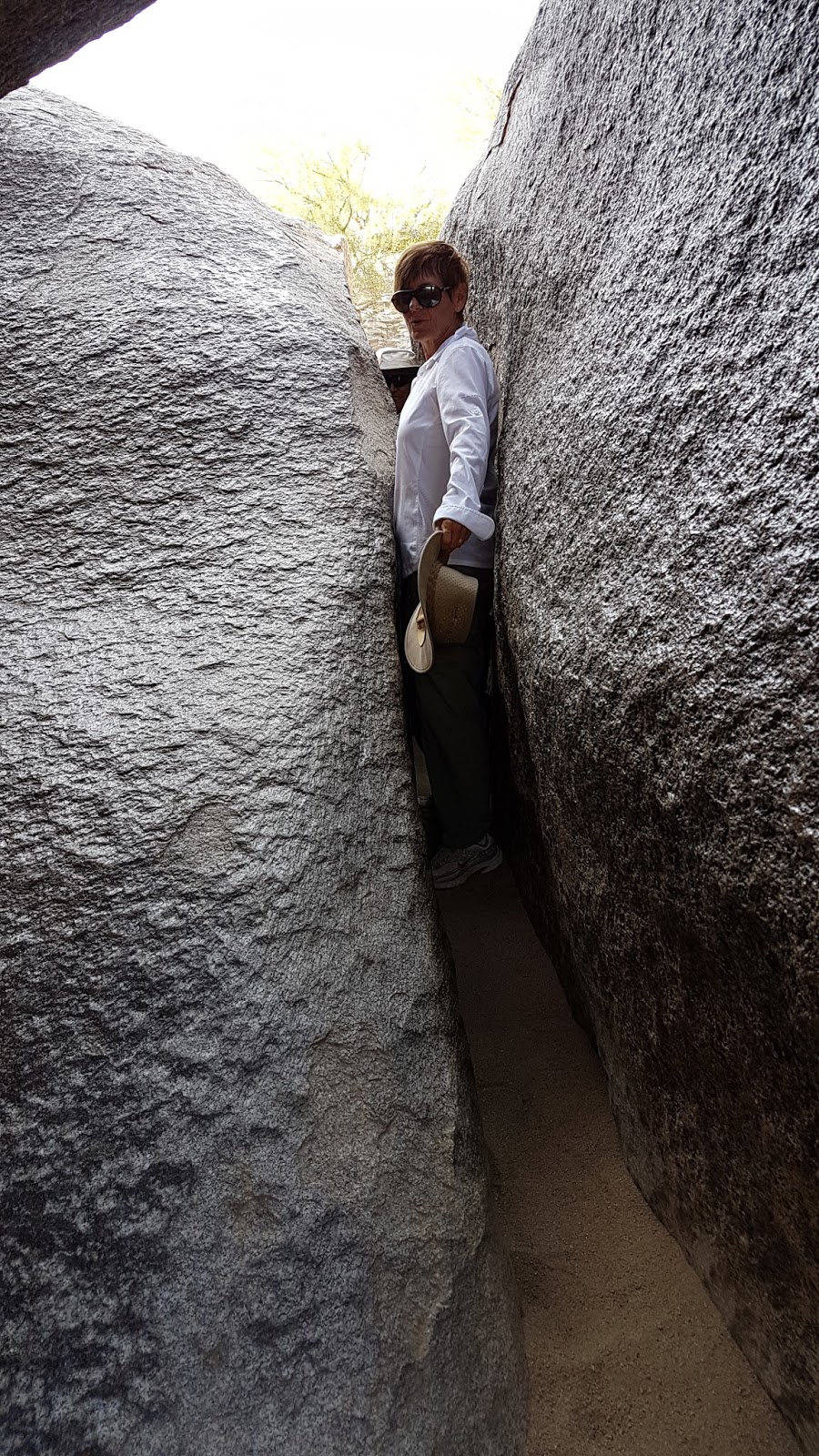
The short hike trail leads from the Buena Vista Trailhead onto the National Trail to Fat Man’s Pass. After maneuvering through the tight fitting rocks of Fat Man’s pass there are more adventures through Hidden Valley including a natural tunnel. This loops back onto the National Trail and returns back to the trailhead.


The Long Hike starts on 48th Street - Pima Canyon Road to the Pima Canyon Trailhead. The hike begins on the National Trail then turns right onto a short portion of the Beverly Canyon Trail where the trail crosses the Pima Wash trail. We turned left Ridgeline Trail and onto Mormon Loop. We turned right onto Mormon trail then back to the National Trail where we followed to Fat Man’s Pass. There is an alternative route around the very narrow pass. Erosion in the area has blown the soil away, leaving magnificent rock structures, including some with petroglyphs. After lunch, we hiked through Hidden Valley and the Natural Tunnel and turned right onto the National trail and back onto Pima Canyon Wash Trail to the trailhead. There are two stone housing structures that are fun to take pictures and view the canyon through the windows.


If you would like to see the trail on South Mountain see the link below:
Fat Man’s Pass, South Mountain - Directions to the Trailheads:
Short Hike: Take I-10 north to exit 155 and go left on Baseline Road. Go to Central Avenue and turn left and follow to the gate at the entrance to the park. There are restrooms just past the gate on the right about 300 yards. Proceed on the paved road to Summit Road to the end of the road. Park in the lot at the end, or beside the road back. 51 miles from the Park.
D, 4.2 mi.
Long Hike: Take I-10 north to exit 157 and turn left on Elliot Road. Drive to 48th Street, turn right. Follow 48th street as it bears right and becomes Guadalupe Road. Immediately, in the turn, turn left on S. 48th St, then left again on E Pima Canyon Rd. The entrance and guard house are just past this point on the right. Follow the road to the trailhead. Toilets at the trailhead. It is about 42 miles from the Park. B-, 6.5 mi.
No comments:
Post a Comment