 |
| The Dutchman Trail is called Grand Enchantment Trail on Google Maps |
1st Hike
Dutchman Trail - In and Out
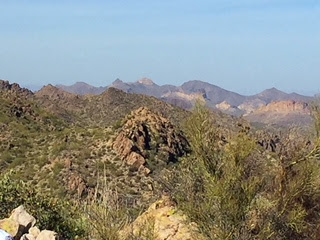
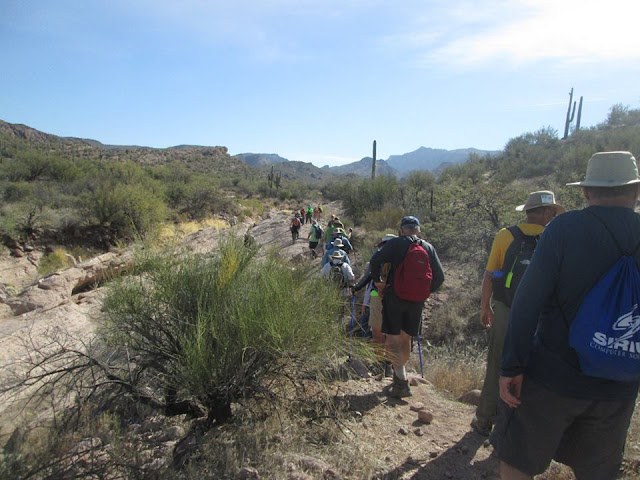
This trail goes right from the junction of First Water Trail and Dutchman trail. This hike is a 2.5-mile hike one way past Parker's Pass and a variety of oddly shaped rocks. After a stop for lunch and photo opportunities of Weaver's Needle, it is time to head back out on the same trail.
2nd Hike
Hackberry Loop Hike
After dividing into our separate groups, 24 of us in the medium group
headed out on the trail up to Garden Valley and supposedly onto the
Black Mesa trail for an in-n-out hike of just over 6 miles.
Wound our way down into the canyon and back up onto the plateau at
Garden Valley where we stopped to check out the Indian Ruins. The
group was given the option of continuing on as planned or to attempt
a new route off the plateau and down into the Hackberry Springs trail,
creating a loop trail. Twenty-three voted for the loop, so we headed
off across the flats, eventually finding the trail down through a
very scenic canyon. After joining up with the Hackberry Springs trail
we made our way over to the actual spring for our lunch break.
Hackberry Springs Loop and Garden Valley Trail Map
After lunch and viewing the springs we hit the trail out through First
Water Ranch and eventually back to the parking lot, 5.9 miles only
but some great scenery.
3rd Hike - A Loop
Dutchman trail to First Water Trail to Black Mesa
and back on Dutchman Trail
and back on Dutchman Trail
 |
Great enhancement trail (Dutchman Trail) to Second Water Trail |
 |
| The picture of Nellie, Sharon and Daniel was on this spot, on our way to the Black Mesa Trail. |

 |
| Location is the picture of Jim and Jack at Dutchman Trail. Weaver's Needle in the background |
All Trails Map
First Water Trail, Dutchman and Black Mesa Trail
Directions to First Water Trailhead: From the Jct. of Hunt Hwy. & Hwy 79 N. of Florence,
go north on Hwy.79 13 mi. to Hwy 60. Turn left on Highway 60 and
go three miles past King’s Ranch. Just past Mountain View road
bear right on E Old West Hwy. Turn right at the stop sign, then
bear left continuing on Old West Hwy. to the first traffic light on
Tomahawk. Turn right going northward, past two stop signs,
until you come to the junction of Hwy 88. Turn right. Proceed
past the entrance to Lost Dutchman State Park, to a signed road
“First Water Trailhead”. Turn right on this dirt road and proceed
2 1/2 miles, past a staging and parking area for horses and trailers,
to the end of the road where there is a good parking area with pit
toilets available. 33°28’49.64”N 111°26’35.22”W


No comments:
Post a Comment