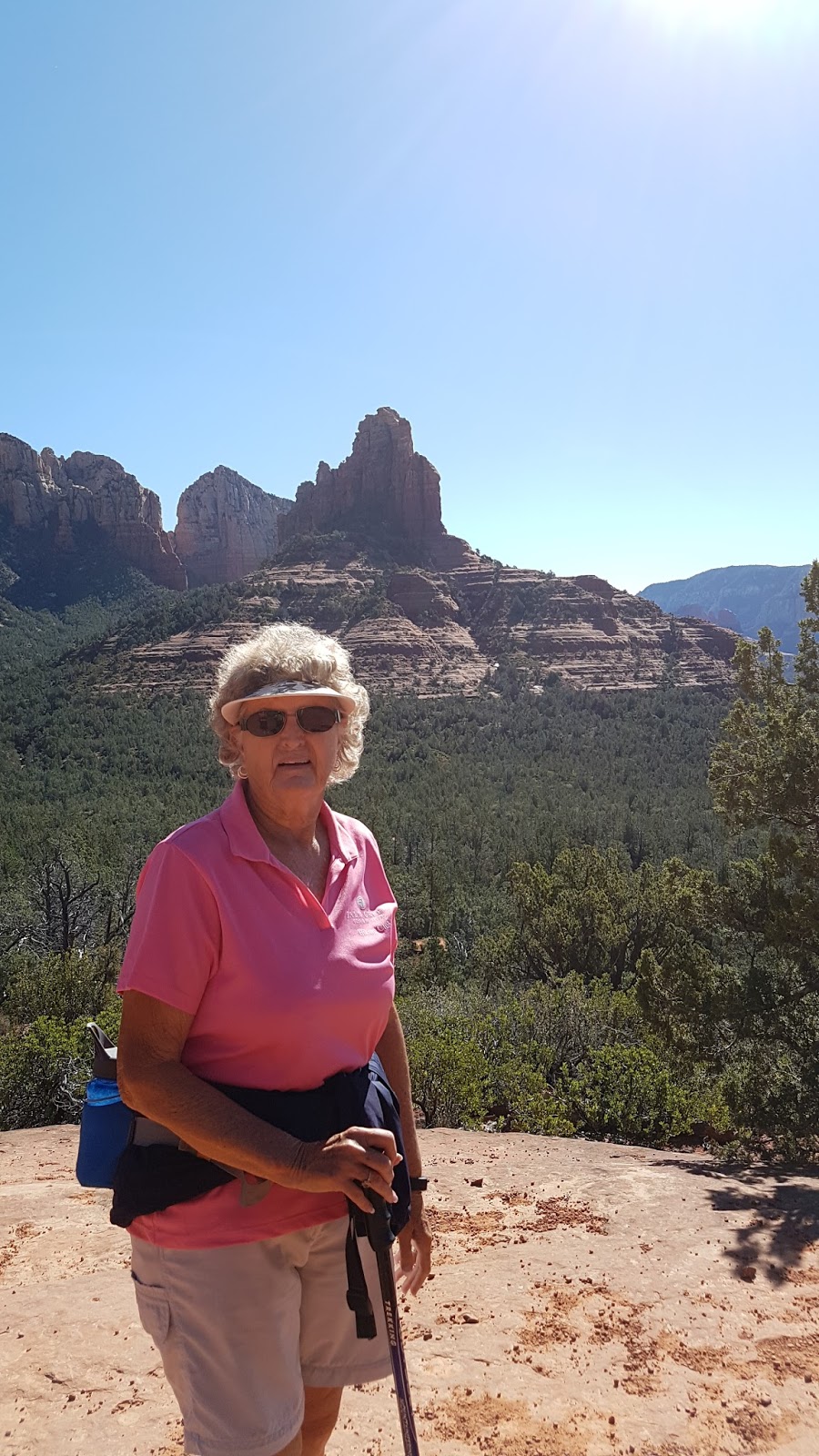
We drove through Sedona to the Jordan Trailhead (34°53'18.08"N, 111°46'06.37"W) to hike the Brins Mesa-Soldier Pass Loop, 5 mi.
For a map of the trail see website below.
https://www.alltrails.com/explore/trail/us/arizona/brins-mesa-trail-to-jordan-cibola-pass-trail
![]() |
Search and Rescue were on a recovery mission |
![](https://blogger.googleusercontent.com/img/b/R29vZ2xl/AVvXsEgoNAYa_mYuaf2XHKQLO4-6n7FQnLdZyDXpv7tHgTA6iaBgCyxr4bzmgyjJpvxTCVdoBcFVjxEZFwpGXswUReLzlGLcCXAZxECvtsrrs3xBKgRroJtg-eJbuzeu2XATV6dgATTsV8uSDxia/s320/20170311_100609.jpg)
![](https://blogger.googleusercontent.com/img/b/R29vZ2xl/AVvXsEgm4smv6NUr8bcYU-agndwro-X88-zmyvM_9RD2xI1vuEkJKs9nUt1ajvpkqIx5NKIZDsjV7erJMNFtnAHhwXuHLO_hQkfVhHMfEsktVidOUEUzHl5afhWl2OJCTpncA1JEp00iiM0ThUpo/s640/20170311_100808.jpg)
![](https://blogger.googleusercontent.com/img/b/R29vZ2xl/AVvXsEjjiQRiezsQR5TLVVpCzfoVB3FtnIlBBxlSMkUeYjaKK_AdJzbM_QEN0PzyT5XdyIOFO5PY584klDYhmSi28WhSj4fW4Gv_LvI5283ul8yiGR71iPGSwKLREm9NRaLuEEJ7POGO2WDjekdU/s200/IMG_6827_edited-1.jpg)
![](https://blogger.googleusercontent.com/img/b/R29vZ2xl/AVvXsEgcYdHHnqXAi6ZNMsG59YkZ6OpuMM_Yp3Z4EOAm1jZlf5xsMN_x5pxRSfiRdPSndfV8ffjg5D5zB3wRsWrjKIHm_jgJfJhpXGGS3_mQmqJisZ7P-FcdXGvikk1P2f8tkXpMdhquMhFvObm6/s320/20170311_115448.jpg)
![](https://blogger.googleusercontent.com/img/b/R29vZ2xl/AVvXsEiwu8heleFoIYVugjGjY07Il1qMOpYJfQ4LFpFVK-4U_lQTn3cB_OVlnqxX94tbRHrMj6bUJKfd4nc4BsPvH6Ns36GbDF3vTm06SdByDfTpw6y3dKNpa_Iwzycf0yaiQTtrkHD_mp0A4ZTN/s640/20170311_131324.jpg)
Skip's GPS
Barry's GPS
A shorter hike was out-and-back hike from the
Jordan Trailhead to Devil's Kitchen-Seven Pools and back
2.4 miles
See Website of the Geology of Devil's Kitchen Sink Hole in the website below
http://www.azgs.az.gov/arizona_geology/winter09/article_devilskitchen.html
Devil's Bridge
![]() |
Picture of Devil's Bridge from the internet |
Another group hiked to Devil's Bridge on Devil's Bridge Trailhead. Dry Creek Road
See Website: https://www.alltrails.com/explore/trail/us/arizona/devils-bridge-trail
No comments:
Post a Comment