Google Maps from Casa Grande to Chirichua's
All hiking groups hiked the main Chiricahua trails on March 17th. All hikers jumped half of the vehicles (half of the vehicles were left at the visitors center) and took Bonita Canyon Drive to Massai Point to begin their hikes.
All Trails website All Trail Map of Chiricahua's

The long hikers hiked Echo Canyon Trail which includes Echo Canyon Grotto then took Hailstone Trail that meets with Mushroom Rock Trail. The hikers then took Inspiration Point Trail up and back, then continued down Big Balanced Rock Trail to the Heart of the Rocks loop. The way back to the visitors center was via Sarah Demming Trail and Lower Rhyolite Canyon Trail. (The map below includes Sugarloaf from yesterday's hike).


The middle hikers took Ed Riggs Trail, then Mushroom Rock Trail and Inspiration Point up and back. They took Big Balanced Rock Trail and the Heart of the Rocks Loop. Continuing on Sarah Deming Trail and Lower Rhyolite Canyon Trail to the Trailhead.
Once the hikers were at the Visitor's center some of the drivers drove to get the vehicles from Massai point.


Long Hikers
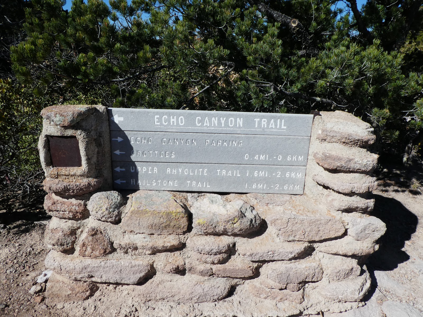
Echo Canyon trail


Echo Canyon Grotto


The other side of the Echo Canyon Loop - Hailstone Trail. On the way to Mushroom Rock Trail


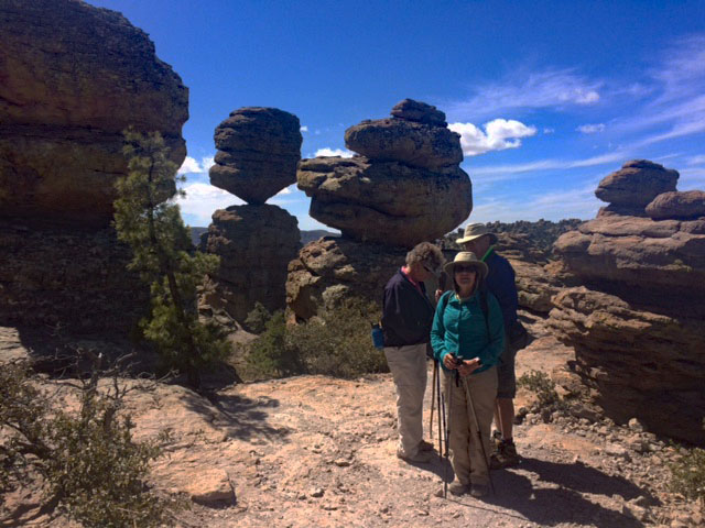
Going into the Heart of Rocks Loop Trail


Middle Hiking Group


Short Hike


Signs at the bottom of the trail. Visitor Center


Trip Data for Middle Group


 |
| This GPS records differently than the Garmin. Samsung APP - More than one mile difference. |

No comments:
Post a Comment