


 |
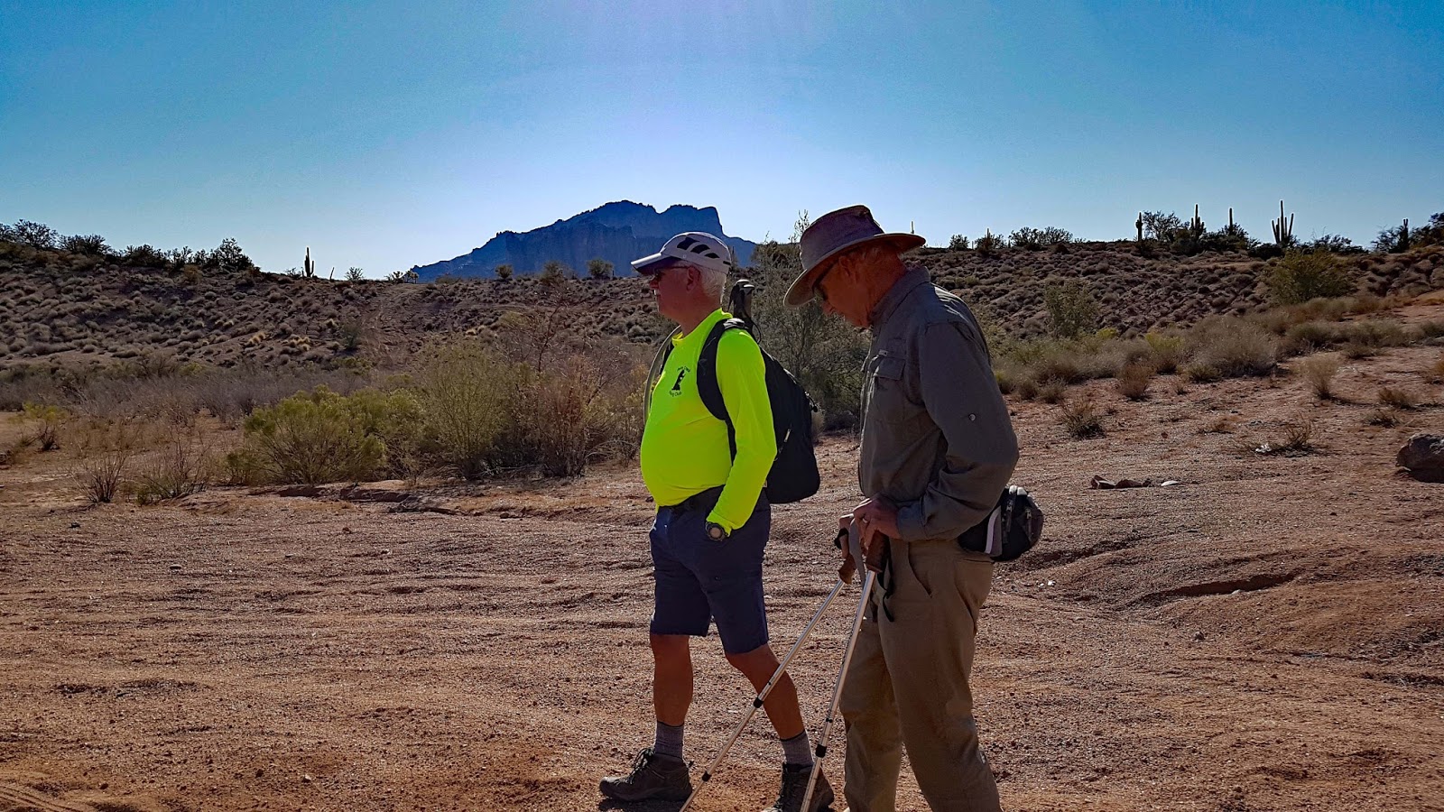
| Junction of 3512 and 1356. The long hike took 3512. |


 |
| The end of the road and beginning of bush wacking. |


 |
| Looking down on Palo Verde Arch and horses |
 |
| Palo Verde Arch and Horses |


 |
| The Shorter Hikers looking up at the Longer hikers who were standing at Top Hat |


 |
| Natural Bridge - Palo Verde Arch |

 |
| Looking down at the wash where we had lunch |

 |
| The backside of Top Hat - Hiking Down the Trail toward the wash where we had lunch |
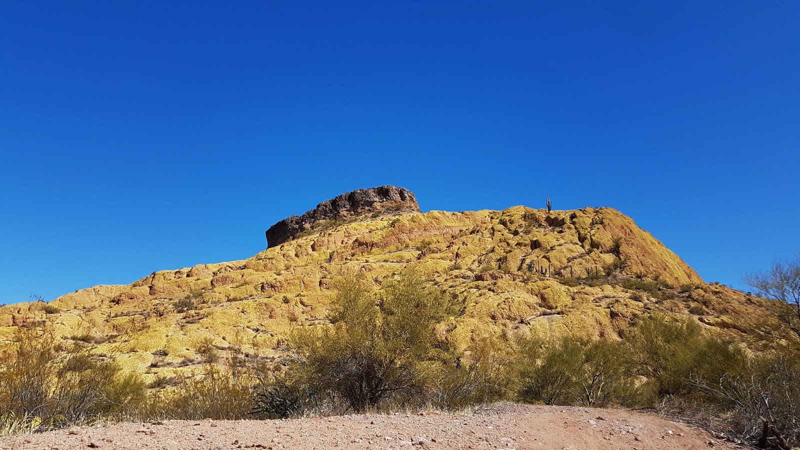 |
| Top Hat |


 |
| Group in Long Hike in front of Green Thumb |
 |
| Long Hiking Group in front of Green Thumb |
 |
| Green Thumb |
 |
| Green Thumb |


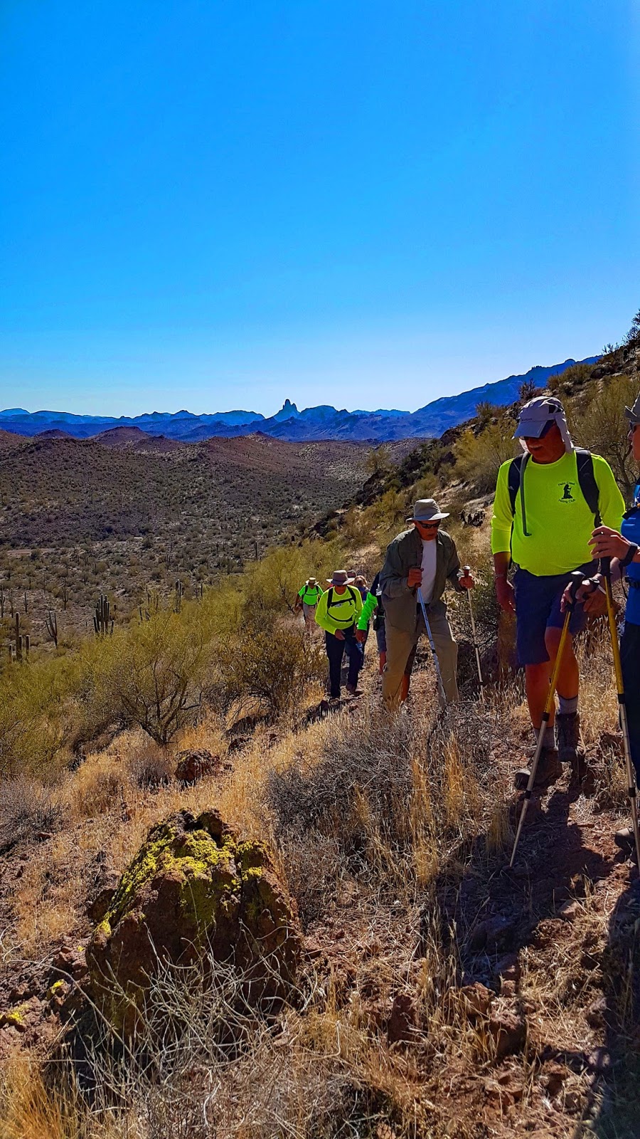
The Short Hike took this trail
You Tube video of Trail Hiking toward Top Hat Summit
Directions:
Google maps for Driving Directions to Packsaddle Trailhead
Driving Directions: Take I-10 to exit 175/AZ-587. Go N. on 587, which becomes AZ-87/ Arizona Ave through Chandler/Gilbert for 11.5 mi. Turn right just before the overpass onto the on-ramp AZ-202 Loop east bound. At exit 30A take the 2nd lane, US 60 east. In 5.7 mi. on US 60 take exit 196. Turn left on Idaho Rd. At 2.3 mi. on Idaho Rd. turn slight right onto AZ-88. In 2.75 mi. turn left onto Hackamore Rd. Continue 1.7 mi. to the trailhead at the end of the dirt road. 33°27’59.41”N 111°30’29.62”W
thanks for your nice picture.
ReplyDeletesee this link